The next one looks spotty for us but is supposed to be cold and windy.
Near real-time publication of GOES-East and GOES-West images from NOAA/NESDIS/STAR

www.star.nesdis.noaa.gov
Detailed Forecast
Today
A slight chance of showers after 11am. Patchy fog before 11am. Otherwise, partly sunny, with a high near 59. Light southwest wind increasing to 10 to 15 mph in the morning. Winds could gust as high as 20 mph. Chance of precipitation is 20%.
Tonight
A chance of showers. Mostly cloudy, with a low around 37. West wind 5 to 10 mph, with gusts as high as 20 mph. Chance of precipitation is 50%. New precipitation amounts of less than a tenth of an inch possible.
Friday
A chance of showers, then showers likely and possibly a thunderstorm after 11am. Mostly cloudy, with a high near 47. Southwest wind 5 to 10 mph becoming northwest in the morning. Winds could gust as high as 20 mph. Chance of precipitation is 60%. New rainfall amounts between a quarter and half of an inch possible.
Friday Night
A chance of showers before 11pm. Mostly cloudy, with a low around 37. Southwest wind 5 to 15 mph becoming southeast after midnight. Winds could gust as high as 20 mph. Chance of precipitation is 40%. New precipitation amounts of less than a tenth of an inch possible.
Saturday
Sunny, with a high near 59. Light and variable wind becoming west 5 to 10 mph in the afternoon.
Saturday Night
Mostly clear, with a low around 39.
Sunday
Sunny, with a high near 63.
Sunday Night
Partly cloudy, with a low around 41.
Monday
Sunny, with a high near 65.
Monday Night
Mostly clear, with a low around 45.
Tuesday
Sunny, with a high near 73.
Tuesday Night
Clear, with a low around 49.
Wednesday
Sunny, with a high near 78.


")
 droughtmonitor.unl.edu
 ktla.com
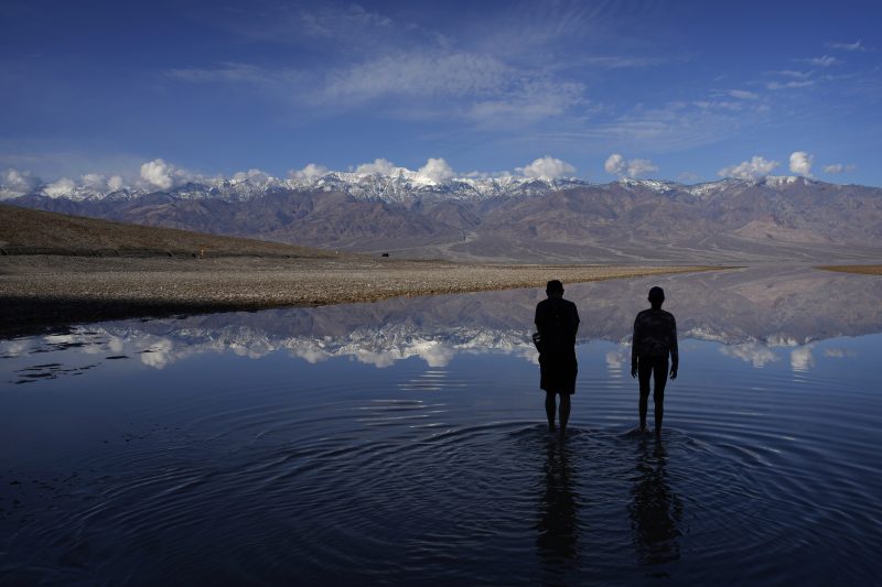